Sembalun Trekking Route
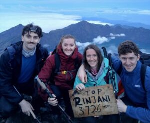
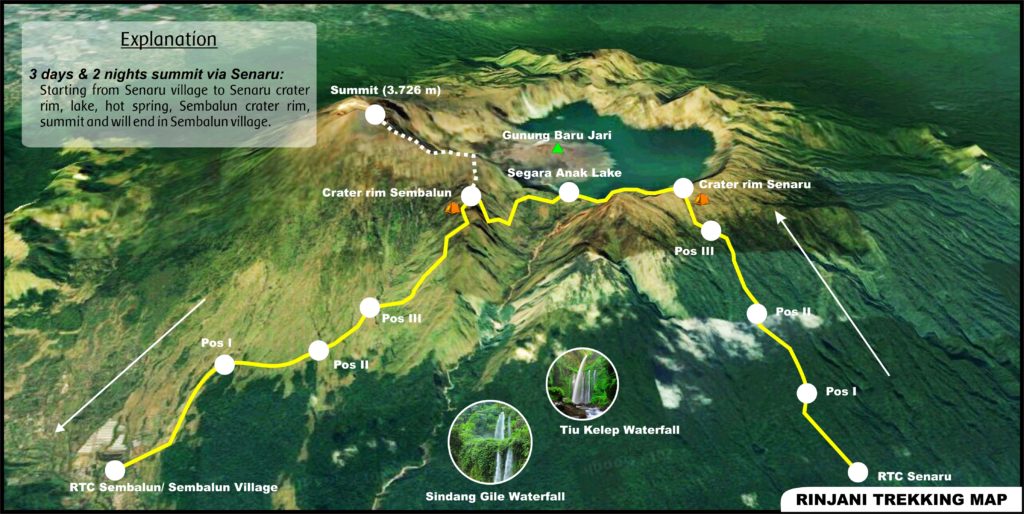
The trek will start from the Sembalun village with an altitude of 1100 m and will also take place in the Sembalun village. This route will be pampered with a vast landscape, a little long path and a bit hot during crossing the meadow, to get to the edge of the crater with the altitude of 2600 m you will need a lot of stamina because you have to climb five hills which are very high and challenging.Starting from the entrance gate of Sembalun to crater Rim Sembalun will take about 7-8 hours, with 10 km distance. On the second day is the struggle to reach the summit with a height of 3.726m, starting from 3 a.m in order to get the sunrise over the summit.
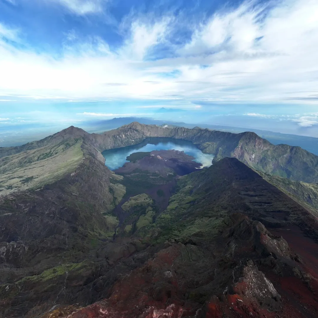
Overview trail
- Distance : 10 KM
- Walk duration : 6-7 Hours
- Difficulty: Moderate
- Highest point: 2.639 M (Cam site Plawangan Sembalun crater rim)
- Height gain: +1.539M
Overview trail at day 2 from crater rim Sembalun to Summit:
- Distance : 5 KM
- Duration : 6-7 Hours
- Difficulty: Very Difficult
- Highest point: 3.726M (mount Rinjani summit )
- Height gain: +1.087M
Camp site Sembalun crater Rim to Segara Anak 2,000 M
- Distance : 3,4 KM
- Duration : 3-4 Hours
- Difficulty: Moderate
- Highest point: 2.639Mdpl ( camp site Sembalun crater rim )
- Height gain: -639M
Segara Anak lake to crater Rim Senaru
- Distance : 2,5 KM
- Duration : 3-4 Hours
- Difficulty: moderate
- Highest point: 2.641 M ( Camp site Senaru crater Rim)
- Height gain: +641 M
Overview trail at day 3 from crater Rim Senaru to Senaru village
- Distance : 7,5 KM
- Duration : 5-6 Hours
- Difficulty: Moderate
- Highest point: 2.641 Mdpl (Senaru crater Rim)
- Height gain: -2040 M
Senaru Trekking Route
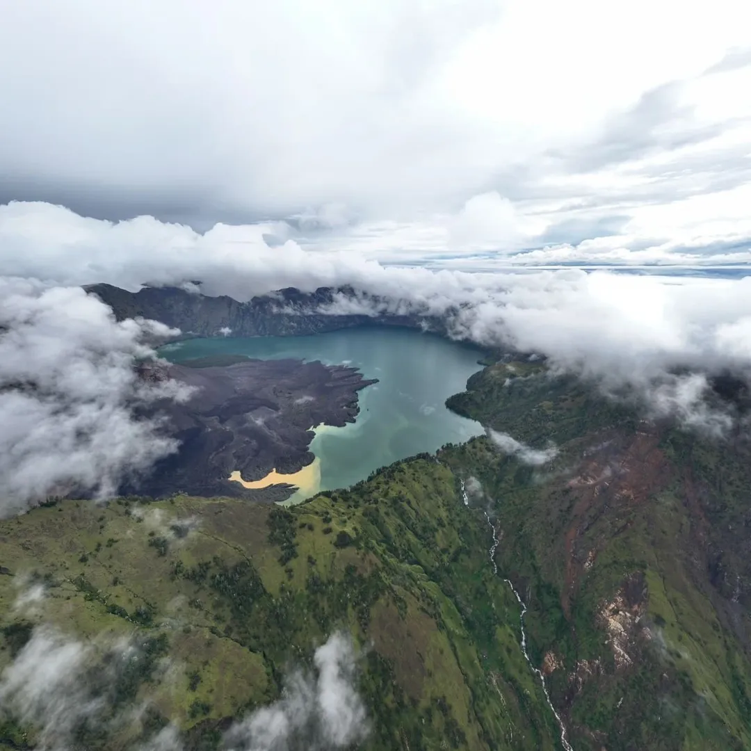
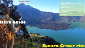
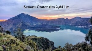
The trek will start from the Senaru village with an altitude of 600 m and will also take place in the Senaru village. The route that is used is the Senaru route that is through the trees (jungle) rain forest the journey will be starting from a height of 600 m to reach to a height of 2,641 m.
Overview trail day 1 from Senaru village to crater rim Senaru :
- Distance: 7.5 km
- Walk duration : 5-6 hours
- Difficulty: Moderate
- Highest point: 2.641 ml ( camp site Senaru crater Rim)
- Height gain: -2040 m
Overview trail at day-2 (5-6 hours walk)
crater Rim Senaru 2.641 M to Segara Anak lake 2.000m
- Distance : 2,5 km
- Duration : 2-3 hours
- Difficulty: moderate- dificuld
- Highest point: 2.641 m (Senaru crater Rim)
- Height gain: – 641 m
Segara Anak to Sembalun crater Rim
- Distance : 3,4 km
- Duration : 3-4 hours
- Difficulty: Moderate
- Highest point: mdpl (Sembalun crater rim )
- Height gain: +639 m
Overview trail at day- 3 from crater rim Sembalun to Summit:
- Distance : 5km
- Duration : 6-7 hours
- Difficulty: very difficult
- Highest point: 3726 m (mount Rinjani trekking summit )
- Height gain: +1,087 m
Overview trail
- Distance : 10 KM
- Walk duration : 5-7 Hours
- Difficulty: Moderate
- Highest point: 2.639 M (Cam site Plawangan Sembalun crater rim)
- Height gain: – 1.539M
Start from sembalun or senaru trekking route ?
on your condition if you want to explore and enjoying the trip we are recommended start from senaru village ( senaru trekking route ) because you have enought time to explore and enjoying the lake and hotspring in second day, 5-6 hours walking on day 2 so 2-4 hours explore lake and hotspring but is hard in the last day 6- 7 hours summit + 5-6 hours from creter rim sembalun to sembalun village but you can take motorbike (extra cost) from post 2 to sembalun village ( starting point)
if you start from sembalun route on the second day is hard day becouse trekking to summit 6-7 hours + 3-4 hours trek down to the lake + 3-4 hours from the lake to crater rim senaru. most trekker said very difficult but bit easy the last day because from senaru crater rim to senaru village 5-6 hours .
Frequently Asked Questions
Is the Sembalun trekking route better for reaching Mount Rinjani summit?
Yes, the Sembalun trekking route is often recommended for hikers who want to reach the summit of Mount Rinjani. This route gives more direct access to Sembalun Crater Rim, which is the main starting point for the summit trek. However, the trail is exposed, hot during the day, and physically challenging.
Is the Senaru trekking route easier than Sembalun?
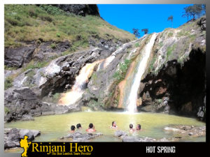
The Senaru trekking route is not necessarily easier, but it offers a different trekking experience. Senaru starts from a lower altitude and passes through tropical rainforest, making the trail more shaded. It is a good choice for hikers who want to enjoy Segara Anak Lake, hot springs, and a more scenic trekking journey.
Which route is best for first-time hikers?
For first-time hikers with good fitness, both routes can be possible with a proper guide and itinerary. If your main goal is the summit, Sembalun may be better. If you want a more balanced experience with forest, lake, and hot springs, Senaru can be a better option.
How long does it take to trek from Sembalun to Sembalun Crater Rim?
The trek from Sembalun Village to Sembalun Crater Rim usually takes around 6 to 8 hours. The trail distance is approximately 10 km, with an elevation gain of around 1,539 meters.
How difficult is the Mount Rinjani summit trek?
The Mount Rinjani summit trek is considered very difficult. Hikers usually start around 3:00 AM from Sembalun Crater Rim. The trail is steep, sandy, cold, and physically demanding, but the sunrise view from the summit is one of the main highlights of the trek.