Detailed Mount Rinjani Trekking Map 2026
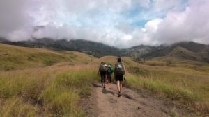
Navigating the second-highest volcano in Indonesia requires more than just stamina; it demands a clear understanding of the terrain. The Detailed Mount Rinjani Trekking Map 2026 highlights the two primary gateways: Sembalun in the East and Senaru in the North. Each route offers a distinct ecosystem, moving from the golden grasslands of the savannah to the humid, mossy depths of the tropical rainforest.
Choosing a legal and experienced provider is the first step in mastering this map. Since 2012, Rinjani Hero has established itself as a trusted partner for international trekkers from Malaysia, Singapore, Australia, and Europe. By integrating official park maps with years of field experience, they ensure that every climber understands the technical difficulty of each “Pos” or checkpoint before they even start their first incline.
The Sembalun Trail: Gateway to the Summit
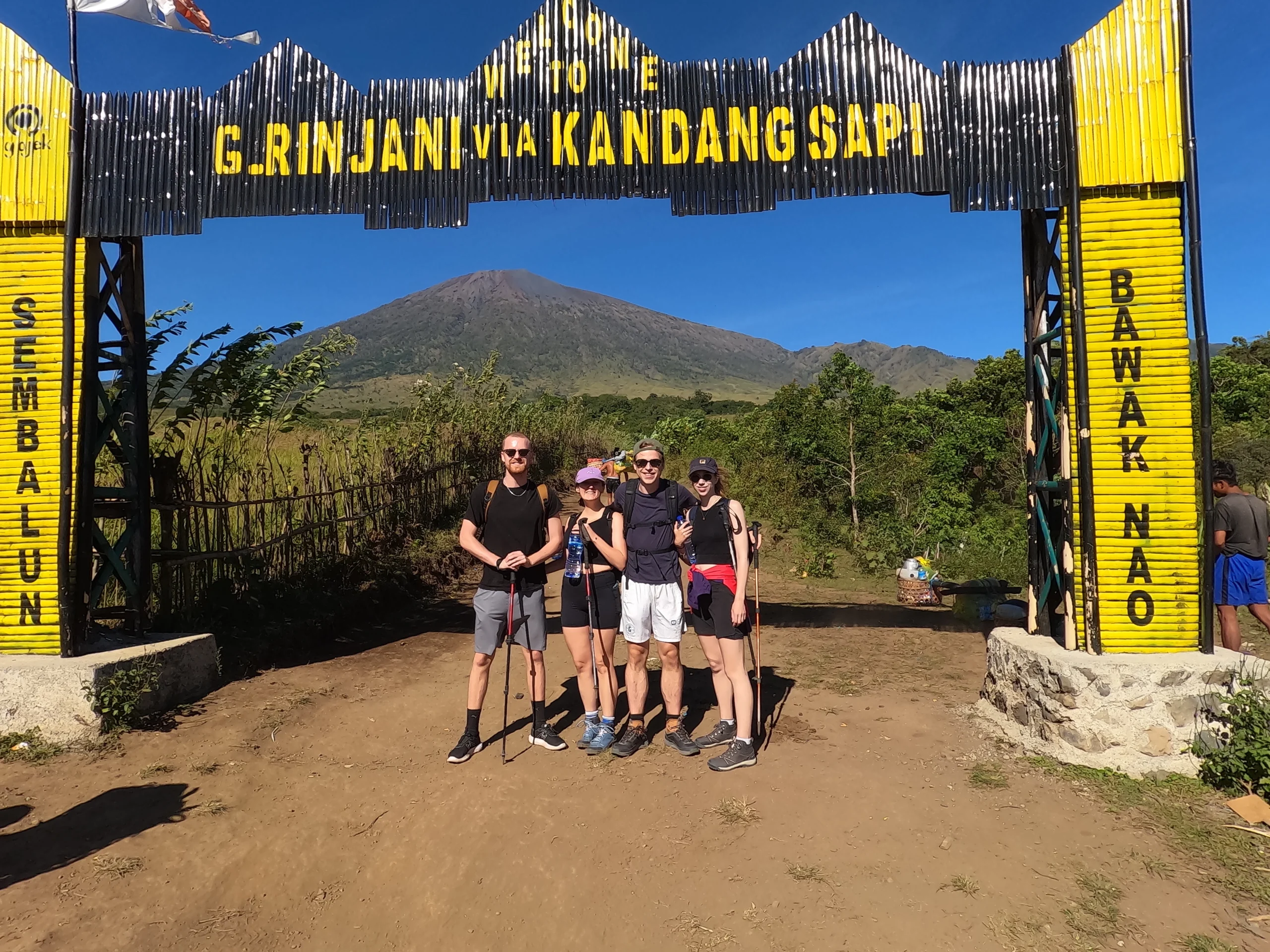
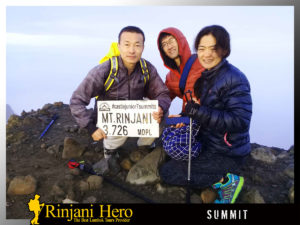
The Sembalun route is the most direct path if your primary goal is the 3,726m summit. This trail is characterized by wide-open views and rolling hills. From the starting point, you will pass through Pos 1 (Pemantauan) and Pos 2 (Tengengean). This section is relatively flat but exposed to direct sunlight, making hydration management a top priority. Case studies from recent seasons show that hikers who start before 8:00 AM have a much higher success rate in reaching the rim comfortably.
As you move toward Pos 3 (Padabalong), the incline increases significantly. This is where the map shows the transition into the steep “7 Regret Hills.” The path here is dusty during the dry season and can be slippery after light rain. To navigate this challenging terrain safely, professional guidance is essential. Rinjani Hero provides experienced guides and porters who are not only experts in the route but are also committed to nature preservation and trekker safety.
The Senaru Trail and Professional Logistics
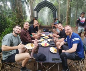
The Senaru trail serves as the primary exit for those doing the full loop or the main entry for those focusing on Crater Rim views. Unlike the open heat of Sembalun, Senaru is shaded by a dense canopy. The map for this side involves a steady climb through protected forest areas. You will encounter Pos 1 and Pos 2 under the shade of giant tropical trees, which helps in maintaining a stable body temperature during the ascent.
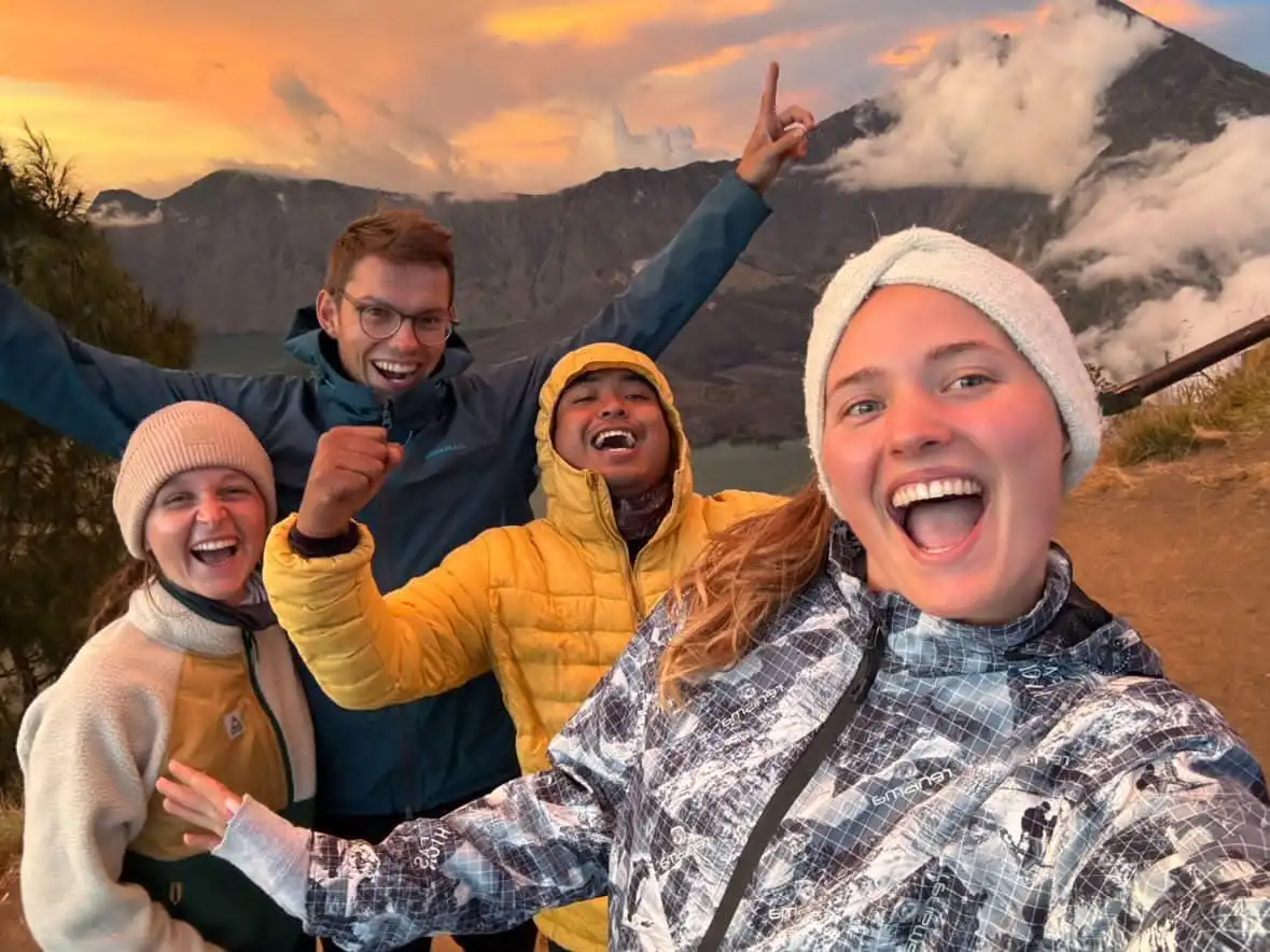
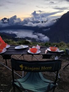
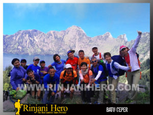
Managing the logistics for such a diverse map can be complex, especially regarding equipment and accommodation in Senaru. A full-service provider like Rinjani Hero simplifies this by offering complete packages that include high-quality camping gear and comfortable stays before the trek. Whether you are looking for a private expedition or want to join a Rinjani Trekking Group to meet fellow adventurers from Canada or England, having a legal company handle the details ensures a seamless transition from the jungle to the rim.
Segara Anak Lake and Thermal Springs
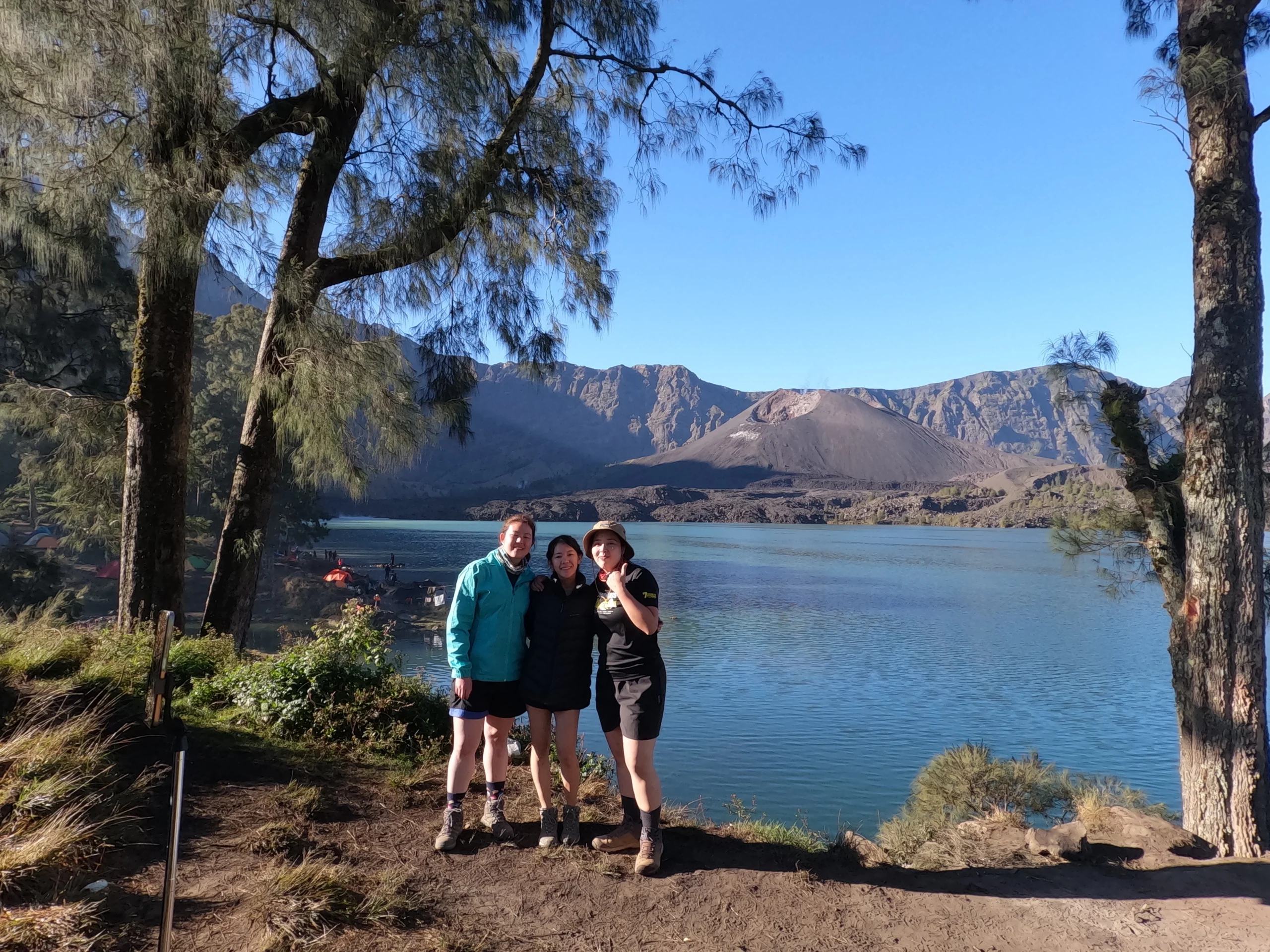
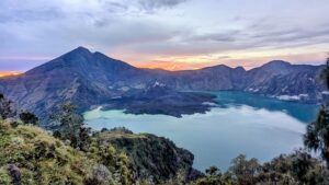
Deep within the caldera lies the crescent-shaped Segara Anak Lake, a sacred site for locals. The trekking map shows steep, rocky paths leading down from both the Sembalun and Senaru rims. At 2,000 meters above sea level, the lake is home to the Gunung Baru Jari, the “new” active volcano sitting in the middle of the water. This area is often the highlight for many, offering a chance to recover in the natural hot springs nearby.
Safety remains the main priority when navigating the descent to the lake, as the terrain is technical and requires focus. By choosing a partner that has been operating since 2012, trekkers benefit from a deep knowledge of the safest paths and the best spots for photography. From providing detailed program information to ensuring the equipment is top-notch, the goal is to help you grasp the beauty of Rinjani while maintaining the highest standards of safety and service.
Frequently Asked Questions
Is the 2026 map different from previous years?
The main trails remain the same, but the 2026 map includes updated safety points and better-marked rest areas. Some sections near the lake have been reinforced with better path markings to prevent hikers from getting lost in the fog. It is always best to follow the lead of a guide who knows the latest trail updates.
Which route is better for beginners?
If you want a more shaded experience, the Senaru Crater Rim (2D1N) is usually recommended. However, if your goal is the summit, the Sembalun route is necessary. Most international guests prefer the 3D2N package to see both the summit and the lake without feeling too rushed.
What makes a trekking company “Legal” in Rinjani?
A legal company like Rinjani Hero is registered with the National Park and local authorities, ensuring they have the right to obtain trekking permits (e-tickets). This also means their guides and porters are certified, which is crucial for your safety and for the local economy in Lombok.
Do I need to bring my own camping equipment?
Not necessarily. Most professional packages already include high-quality tents, sleeping bags, and cooking gear. This allows you to focus on your personal items like hiking boots and jackets, while the porters handle the heavy lifting and setup at each campsite.